Landing in a Natural Playground
Finding Home after 150,000 miles, 76 countries & 4 continents
Photos and words by Tim Burke
Every day, this state finds a way of reminding us that the land that we live on – the place we call home – is still wild.
Go for a drive in any direction and you can see it, smell it, and feel it: It’s still untamed and the people that live here make no effort in hiding the fact that they are trying to keep it that way. It’s also no surprise that the largest roadless landmass in the lower 48 is centered smack-dab in the middle of Idaho. It symbolizes the quintessence of everything Idahoans love about the outdoors.
This wilderness is the ultimate pinnacle and representation of Idaho’s preservation efforts and spans almost 2.5 million acres. Not yet ruined by man, the Frank Church-River of No Return Wilderness is the largest federally-protected wilderness area in the lower 48. When combined with its next-door neighbor, the Selway-Bitterroot Wilderness, the two form an area larger than the state of Connecticut. It defines rugged.
What makes this preserved land so special is that, per the law, all means of “mechanized travel” on and within any dedicated-Wilderness is prohibited.
Only horseback, unpowered boats, and your own two feet are allowed here. For those of us who don’t always travel on horseback, own a raft, or have the stamina to hike through this unforgiving terrain, don’t worry. There are still hidden gems that allow you to get out and appreciate the raw natural beauty from your vehicle or motorcycle.
For me – a motorcycle is, without a sliver of doubt, my favorite way to explore our planet.
Allow me to rewind a bit: In April of 2017, not wanting to die with a lame and empty passport, I decide to quit my job, sell my things, pack my motorcycle, and spent 3.5 years traveling the globe on two wheels. It goes without saying that it was life-changing: The travels took me 150,000 miles through 76 countries spanning four continents.
I’ve had my motorcycle from the southernmost city in the world, Ushuaia, Tierra del Fuego, Argentina, to the shores of the Arctic Ocean in Prudhoe Bay, Alaska; and from Cape Town, South Africa to the top of Europe on the Arctic Ocean in Nordkapp, Norway. My motorcycle has rumbled across ancient cobblestone roads built by Julius Caesar’s Roman Empire and has blasted through 130 degree Saharan heat in Africa. I’ve almost been trampled in an elephant stampede in Zambia and run off the road on a 15,000-foot mountain pass in Peru.
Now, thanks in part to a global pandemic and a job offer in the aviation career-field that I left behind in 2017, I somehow find myself living in and calling the Wood River Valley home!
…And even after all that, I still remind myself every day just how lucky I am to have landed here.
What makes this location, and so many places just like it in Idaho, so special is the ease for us to “disappear” into the backcountry. Every resident in our Valley can be in National Forest or BLM (Bureau of Land Management) land within minutes. Just look around: From wherever you’re reading this, if you’re here in Blaine County, I’ll bet something on the horizon is federal land; a natural playground for us to enjoy.
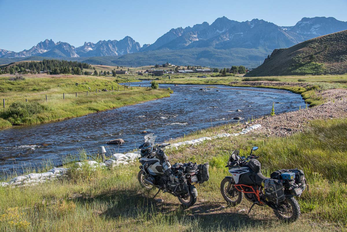
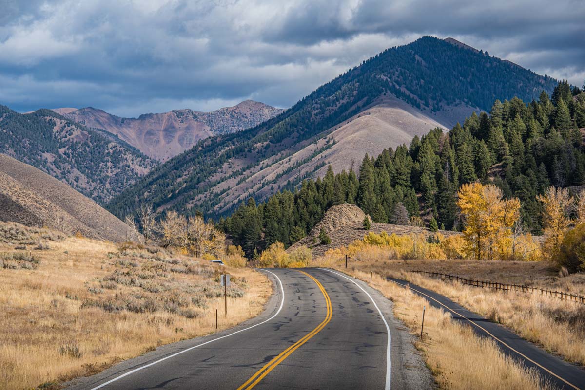
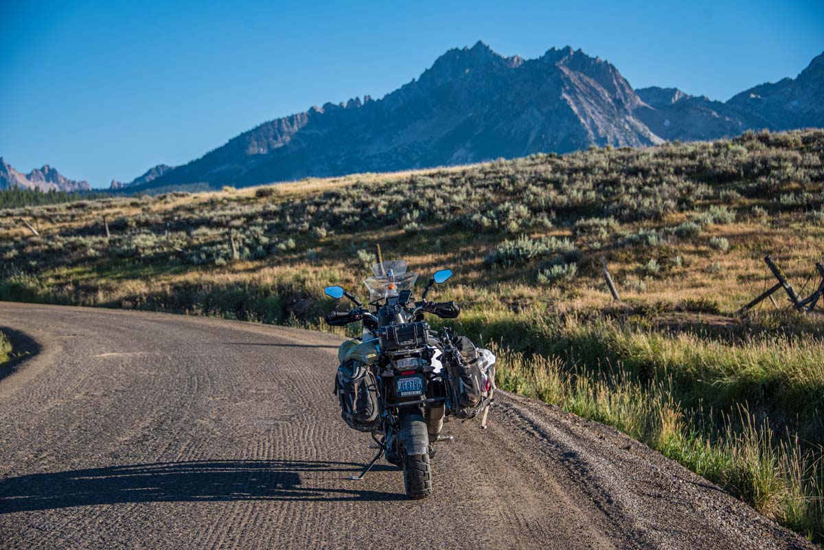
For me, a good day is one spent on my motorcycle with a fine combination of scenic, twisty, and windy asphalt combined with dirt, gravel, mud, and rocks. Exploring far beyond where the pavement ends is what I live for and it’s what makes living in this Valley so good for the adventuring-soul. It’s incredible how fast civilization seems to fall behind when heading east or west off of Highway 75.
One of my favorite summertime loops starts right in downtown Hailey at the Sawtooth Brewery tap room. Depending on your speed, it may take 4 or 5 hours to complete. It has a way to make you feel like you’re getting a taste of Idaho’s rugged backcountry while staying in relative proximity to home. The route will weave through the rolling high-desert hills north of the Camas Prairie, open-range cattle grazing grounds, through chiseled slot canyons, along cold twisty creek beds, and past steaming hot springs. You’ll pass historic remnants of Idaho’s gold mining past before climbing high into the Smoky Mountains range and over Dollarhide Summit. And, what’s better? Assuming dry summer conditions, it can be done in any SUV or a pickup truck!
The journey starts when you head west, out Croy Creek Canyon, towards Fairfield. After about 4.5 miles, the asphalt gives way to hardpacked dirt and the terrain opens up from a steep mountain valley floor to open grassy hills. It’s not uncommon to see deer, elk, coyote, or fox; or if you’re really lucky, perhaps a cougar or bobcat.
As you follow the winding Camp Creek Road route, right before popping out onto the Camas Prairie, you’ll weave through a tight, ragged rock canyon. Be sure to keep your eye out for buffalo at Wind River Outfitters!
Once on the Camas Prairie, you’ll want to roll the windows down and crank the tunes as you fly down the wide-open County Road 200 N. toward the unincorporated community of Solider.
From here, follow the signs north to Soldier Mountain ski area before turning onto National Forest Road 94. Now is the time to kiss cell phone reception goodbye, for the next few hours, because this is where the backcountry really begins. You’ll crest Couch Summit before descending into the pristine Big Smoky Creek basin. If you were really motivated, and planned appropriately, you could just about spend the next week and a half on dirt roads all the way to the Canadian border. Trust me – it can be done!
For those needing to get back to civilization within a reasonable amount of time, you’ll want to turn east onto Forest Road 227 toward Ketchum. Keep this a secret, but two miles past that turn, on your left, you’ll find the steaming-hot Warswick Hot Springs. (Visit valleychamber.org/hot-springs for the ultimate guide to hot springs in the WRV) Take a dunk before continuing your climb towards Dollarhide Summit.
At 9,301 feet above sea level, Dollarhide is one of Idaho’s highest and most stunningly beautiful backcountry passes. No matter which direction you travel over this pass, plan on taking a hundred or so photos in every direction!
It’s all downhill from here! The next 25 miles weave through breathtaking scenery and past the (too) popular Frenchman Hot Springs before finally dumping you right into downtown Ketchum. At this point, most people would agree that a cold beer and a burger is unnegotiable and obligatory!
Welcome to the Wood River Valley – This is just a tiny fraction of what this special place has to offer. Get out and enjoy it!
About the author: Tim Burke is an award-winning, internationally published photographer and travel journalist who spent 3.5 years traveling aimlessly around the world on his BMW motorcycle. He now lives in Hailey with his wife Natalia, whom he met while traveling. His photography and travel stories can be viewed on his social media feeds by searching @timburkephoto


